
Akagera topographic map
Interactive map
Click on the map to display elevation.
About this map
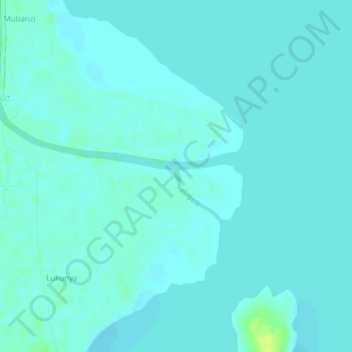
Name: Akagera topographic map, elevation, terrain.
Location: Akagera, Rakai, Central Region, Uganda (-0.94562 31.77667 -0.94474 31.77695)
Average elevation: 1,135 m
Minimum elevation: 1,131 m
Maximum elevation: 1,149 m