
Raintree topographic map
Interactive map
Click on the map to display elevation.
About this map
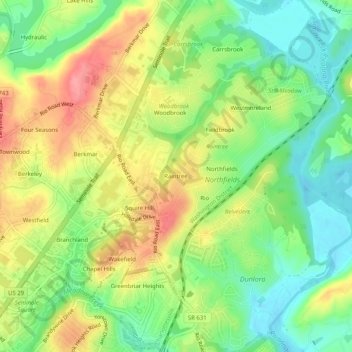
Name: Raintree topographic map, elevation, terrain.
Location: Raintree, Albemarle County, Virginia, 22901, United States (38.05875 -78.48529 38.09875 -78.44529)
Average elevation: 137 m
Minimum elevation: 97 m
Maximum elevation: 185 m