
Madison topographic map
Interactive map
Click on the map to display elevation.
About this map
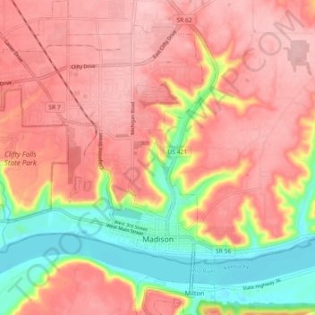
Name: Madison topographic map, elevation, terrain.
Location: Madison, Jefferson County, Indiana, 47250, United States (38.71864 -85.44884 38.78955 -85.36360)
Average elevation: 227 m
Minimum elevation: 129 m
Maximum elevation: 286 m