
Vanport Township topographic map
Interactive map
Click on the map to display elevation.
About this map
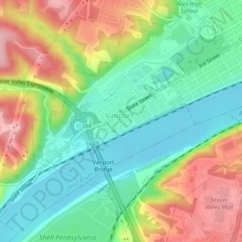
Name: Vanport Township topographic map, elevation, terrain.
Location: Vanport Township, Beaver County, Pennsylvania, USA (40.67130 -80.34715 40.69634 -80.31261)
Average elevation: 262 m
Minimum elevation: 202 m
Maximum elevation: 352 m