
Totoltepec topographic map
Interactive map
Click on the map to display elevation.
About this map
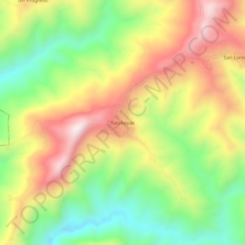
Name: Totoltepec topographic map, elevation, terrain.
Location: Totoltepec, Teloloapan, Guerrero, México (18.25500 -100.06083 18.29500 -100.02083)
Average elevation: 1,395 m
Minimum elevation: 1,074 m
Maximum elevation: 1,753 m