
Fort Kent topographic map
Interactive map
Click on the map to display elevation.
About this map
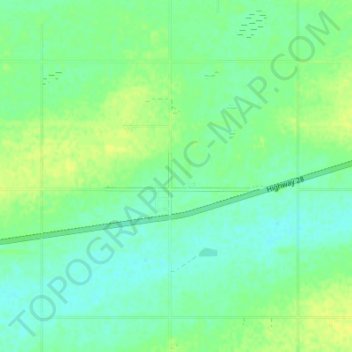
Name: Fort Kent topographic map, elevation, terrain.
Location: Fort Kent, Bonnyville No. 87, Alberta, Canada (54.29306 -110.62389 54.33306 -110.58389)
Average elevation: 553 m
Minimum elevation: 546 m
Maximum elevation: 562 m