
The Woods topographic map
Interactive map
Click on the map to display elevation.
About this map
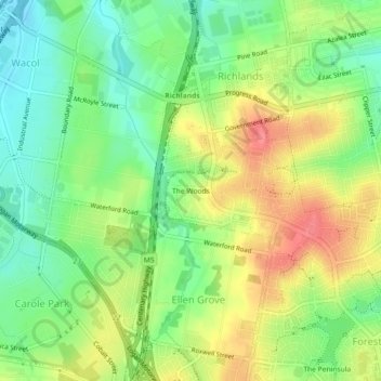
Name: The Woods topographic map, elevation, terrain.
Location: The Woods, Queensland, 4078, Australia (-27.62705 152.92792 -27.58705 152.96792)
Average elevation: 47 m
Minimum elevation: 14 m
Maximum elevation: 87 m