
Itbayat topographic map
Interactive map
Click on the map to display elevation.
About this map
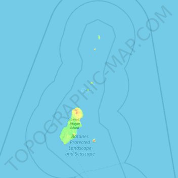
Name: Itbayat topographic map, elevation, terrain.
Location: Itbayat, Batanes, Cagayan Valley, 3905, Philippines (20.55501 121.63803 21.25946 122.09886)
Average elevation: 1 m
Minimum elevation: 0 m
Maximum elevation: 431 m
Other topographic maps
Click on a map to view its topography, its elevation and its terrain.
Sabtang
Philippines > Batanes > Sabtang
Sabtang, Batanes, Cagayan Valley, 3904, Philippines
Average elevation: 9 m
Batan Islands
Philippines > Batanes > Basco
Batan Islands, Basco, Batanes, Cagayan Valley, 3900, Philippines
Average elevation: 0 m