
Kim Thành District topographic map
Interactive map
Click on the map to display elevation.
About this map
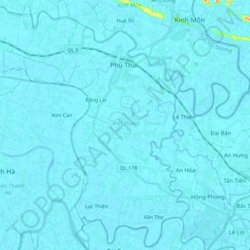
Name: Kim Thành District topographic map, elevation, terrain.
Location: Kim Thành District, Hải Dương Province, Vietnam (20.85094 106.38755 21.00121 106.55243)
Average elevation: 4 m
Minimum elevation: -3 m
Maximum elevation: 126 m
Other topographic maps
Click on a map to view its topography, its elevation and its terrain.
Phú Thái
Vietnam > Hải Dương Province > Phú Thái
Phú Thái, Kim Thành District, Hải Dương Province, Vietnam
Average elevation: 4 m