
Zielony staw topographic map
Interactive map
Click on the map to display elevation.
About this map
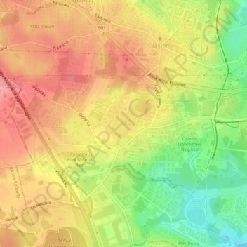
Name: Zielony staw topographic map, elevation, terrain.
Average elevation: 104 m
Minimum elevation: 44 m
Maximum elevation: 147 m
Other topographic maps
Click on a map to view its topography, its elevation and its terrain.
Gdansk
Poland > Pomeranian Voivodeship > Gdansk
Gdansk, Gdańsk, Pomeranian Voivodeship, Poland
Average elevation: 49 m