
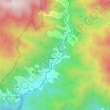
San Gerardo topographic map
Interactive map
Click on the map to display elevation.
About this map
Name: San Gerardo topographic map, elevation, terrain.
Location: San Gerardo, Cantón Dota, Provincia San José, Costa Rica (9.53848 -83.82504 9.57848 -83.78504)
Average elevation: 2,541 m
Minimum elevation: 2,092 m
Maximum elevation: 3,122 m