
Shedden topographic map
Interactive map
Click on the map to display elevation.
About this map
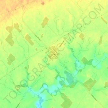
Name: Shedden topographic map, elevation, terrain.
Location: Shedden, Elgin County, Ontario, Canada (42.71958 -81.36533 42.75958 -81.32533)
Average elevation: 220 m
Minimum elevation: 199 m
Maximum elevation: 234 m