
Bath topographic map
Interactive map
Click on the map to display elevation.
About this map
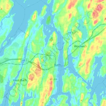
Name: Bath topographic map, elevation, terrain.
Location: Bath, Sagadahoc County, Maine, USA (43.86657 -69.87424 43.98557 -69.80805)
Average elevation: 16 m
Minimum elevation: -4 m
Maximum elevation: 70 m