
Špinel topographic map
Interactive map
Click on the map to display elevation.
About this map
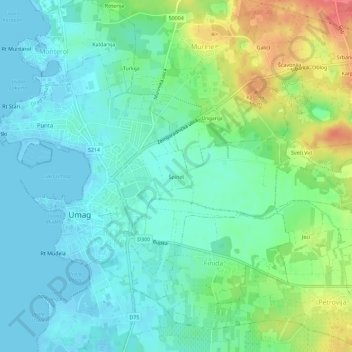
Name: Špinel topographic map, elevation, terrain.
Location: Špinel, Grad Umag, Istria County, 52470, Croatia (45.41670 13.51804 45.45670 13.55804)
Average elevation: 18 m
Minimum elevation: -2 m
Maximum elevation: 63 m