
Ban Tha Salao topographic map
Interactive map
Click on the map to display elevation.
About this map
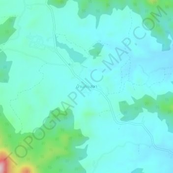
Name: Ban Tha Salao topographic map, elevation, terrain.
Location: Ban Tha Salao, Phetchaburi Province, Thailand (13.10397 99.60256 13.14397 99.64256)
Average elevation: 169 m
Minimum elevation: 110 m
Maximum elevation: 488 m