
Carlow/Mayo topographic map
Interactive map
Click on the map to display elevation.
About this map
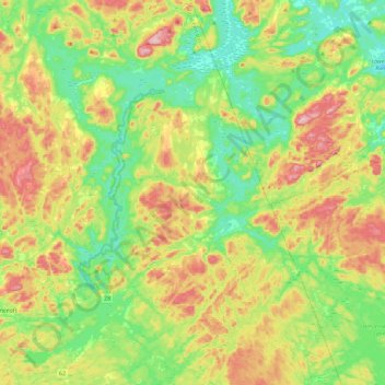
Name: Carlow/Mayo topographic map, elevation, terrain.
Location: Carlow/Mayo, Hastings County, Ontario, K0L 2M0, Canada (44.99559 -77.78043 45.31248 -77.48001)
Average elevation: 358 m
Minimum elevation: 268 m
Maximum elevation: 516 m
Other topographic maps
Click on a map to view its topography, its elevation and its terrain.
McArthur's Mills
Canada > Ontario > Carlow/Mayo > McArthur's Mills
McArthur's Mills, Carlow/Mayo, Hastings County, Central Ontario, Ontario, K0L 2M0, Canada
Average elevation: 329 m