
Vilarrube topographic map
Interactive map
Click on the map to display elevation.
About this map
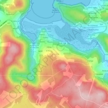
Name: Vilarrube topographic map, elevation, terrain.
Location: Vilarrube, Ferrol (Comarca), La Coruña, Galicia, 15555, España (43.61073 -8.09074 43.65073 -8.05074)
Average elevation: 123 m
Minimum elevation: -8 m
Maximum elevation: 278 m