
Nantucket topographic map
Interactive map
Click on the map to display elevation.
About this map
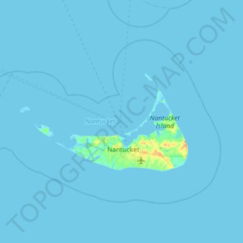
Name: Nantucket topographic map, elevation, terrain.
Location: Nantucket, Nantucket County, Massachusetts, United States (41.18886 -70.39736 41.44339 -69.89364)
Average elevation: 1 m
Minimum elevation: -6 m
Maximum elevation: 27 m