
Chortitz topographic map
Interactive map
Click on the map to display elevation.
About this map
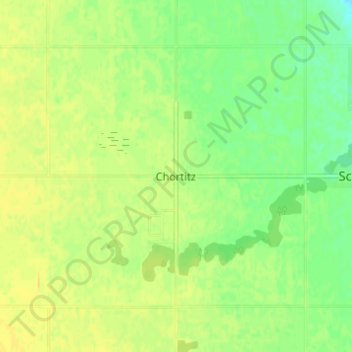
Name: Chortitz topographic map, elevation, terrain.
Average elevation: 285 m
Minimum elevation: 272 m
Maximum elevation: 294 m
Other topographic maps
Click on a map to view its topography, its elevation and its terrain.
Hochfeld
Canada > Manitoba > Division No. 3 > Rural Municipality of Stanley > Hochfeld
Hochfeld, Rural Municipality of Stanley, Division No. 3, Manitoba, Canada
Average elevation: 284 m
Pembina Valley Provincial Park
Canada > Manitoba > Division No. 3 > Rural Municipality of Stanley
Pembina Valley Provincial Park, Rural Municipality of Stanley, Division No. 3, Manitoba, Canada
Average elevation: 414 m