
Rawlings topographic map
Interactive map
Click on the map to display elevation.
About this map
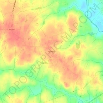
Name: Rawlings topographic map, elevation, terrain.
Location: Rawlings, Brunswick County, Virginia, 23876, United States (36.92848 -77.79888 36.96848 -77.75888)
Average elevation: 82 m
Minimum elevation: 48 m
Maximum elevation: 103 m