
Area I (West Fraser/Nazko) topographic map
Interactive map
Click on the map to display elevation.
About this map
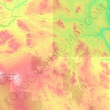
Name: Area I (West Fraser/Nazko) topographic map, elevation, terrain.
Average elevation: 1,128 m
Minimum elevation: 489 m
Maximum elevation: 2,339 m
Other topographic maps
Click on a map to view its topography, its elevation and its terrain.
Nazko
Canada > British Columbia > Cariboo Regional District > Area I (West Fraser/Nazko) > Nazko
Nazko, Area I (West Fraser/Nazko), Cariboo Regional District, British Columbia, Canada
Average elevation: 891 m