Geolocate

Sime Darby Plantation Ladang Bukit Paloh topographic map

Click on the map to display elevation.

About this map
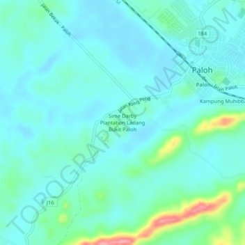
Name: Sime Darby Plantation Ladang Bukit Paloh topographic map, elevation, terrain.

Location: Sime Darby Plantation Ladang Bukit Paloh, Paloh, Kluang, Johor, 86600, Malaysia (2.15953 103.16088 2.19953 103.20088)

Average elevation: 52 m

Minimum elevation: 32 m

Maximum elevation: 140 m

Gear up for your next adventure:

🥾Lightweight Hiking Boots - Boots for comfort and mobility on long hikes
🧦Outdoor Socks - Durable socks designed for hiking and outdoor sports
⛺Camping Essentials - All-in-one gear for a comfortable camping trip
🥾Durable Hiking Shoes - Long-lasting shoes for frequent hiking
🚑Survival Whistle - Signal for help across long distances in mountains

As an Amazon Associate, this site earns from qualifying purchases at no extra cost to you.