
Peerless Lake topographic map
Interactive map
Click on the map to display elevation.
About this map
Name: Peerless Lake topographic map, elevation, terrain.
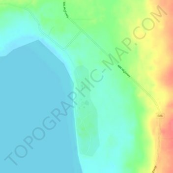
Average elevation: 703 m
Minimum elevation: 687 m
Maximum elevation: 745 m
Peerless Lake is an unincorporated community in northern Alberta, Canada. It is located on the northeastern shore of Peerless Lake, approximately 70 kilometres (43 mi) northeast of Red Earth Creek, and has an elevation of 695 metres (2,280 ft).
Other topographic maps
Click on a map to view its topography, its elevation and its terrain.
Calling Lake
Canada > Alberta > Municipal District of Opportunity > Calling Lake
Calling Lake, Municipal District of Opportunity, Alberta, T0G 0K0, Canada
Average elevation: 609 m
Red Earth Creek
Canada > Alberta > Municipal District of Opportunity > Red Earth Creek
Red Earth Creek, Municipal District of Opportunity, Alberta, T0G 1X0, Canada
Average elevation: 549 m
Wabasca-Desmarais
Canada > Alberta > Municipal District of Opportunity > Wabasca-Desmarais
Wabasca-Desmarais, Municipal District of Opportunity, Alberta, T0G 2K0, Canada
Average elevation: 556 m