
East Brewton topographic map
Interactive map
Click on the map to display elevation.
About this map
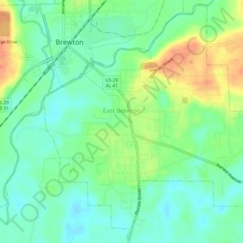
Name: East Brewton topographic map, elevation, terrain.
Location: East Brewton, Escambia County, Alabama, United States (31.07318 -87.07702 31.10993 -87.03280)
Average elevation: 29 m
Minimum elevation: 13 m
Maximum elevation: 54 m