
Gundavli topographic map
Interactive map
Click on the map to display elevation.
About this map
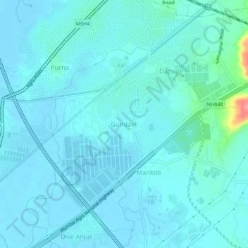
Name: Gundavli topographic map, elevation, terrain.
Location: Gundavli, Bhiwandi, Thane, Maharashtra, 400607, India (19.22722 73.01878 19.26722 73.05878)
Average elevation: 10 m
Minimum elevation: -1 m
Maximum elevation: 94 m