
Aguasabon River topographic map
Interactive map
Click on the map to display elevation.
About this map
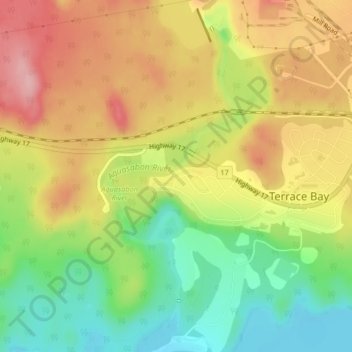
Name: Aguasabon River topographic map, elevation, terrain.
Average elevation: 251 m
Minimum elevation: 177 m
Maximum elevation: 325 m
Other topographic maps
Click on a map to view its topography, its elevation and its terrain.
Terrace Bay
Canada > Ontario > Terrace Bay
Terrace Bay, Thunder Bay District, Northwestern Ontario, Ontario, P0T 2W0, Canada
Average elevation: 230 m