
Huron Shores topographic map
Interactive map
Click on the map to display elevation.
About this map
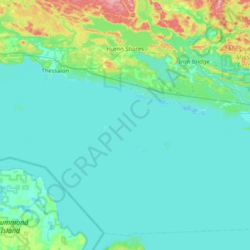
Name: Huron Shores topographic map, elevation, terrain.
Average elevation: 193 m
Minimum elevation: 172 m
Maximum elevation: 340 m
Other topographic maps
Click on a map to view its topography, its elevation and its terrain.
Ansonia
Canada > Ontario > Algoma District > Huron Shores
Ansonia, Huron Shores, Algoma District, Northeastern Ontario, Ontario, Canada
Average elevation: 221 m