
Lac à l'Ours topographic map
Interactive map
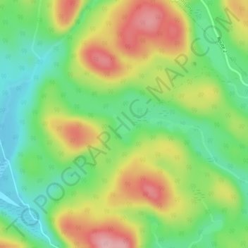
Click on the map to display elevation.
About this map
Name: Lac à l'Ours topographic map, elevation, terrain.
Average elevation: 346 m
Minimum elevation: 281 m
Maximum elevation: 432 m
Other topographic maps
Click on a map to view its topography, its elevation and its terrain.
Laurentian Mountains
Canada > Quebec > Portneuf > Rivière-à-Pierre
Laurentian Mountains, Rivière-à-Pierre, Portneuf, Capitale-Nationale, Quebec, Canada
Average elevation: 325 m